Pro Rautalampi
Protecting Rautalampi's exceptional nature and the rights of the local community against multinational mining companies

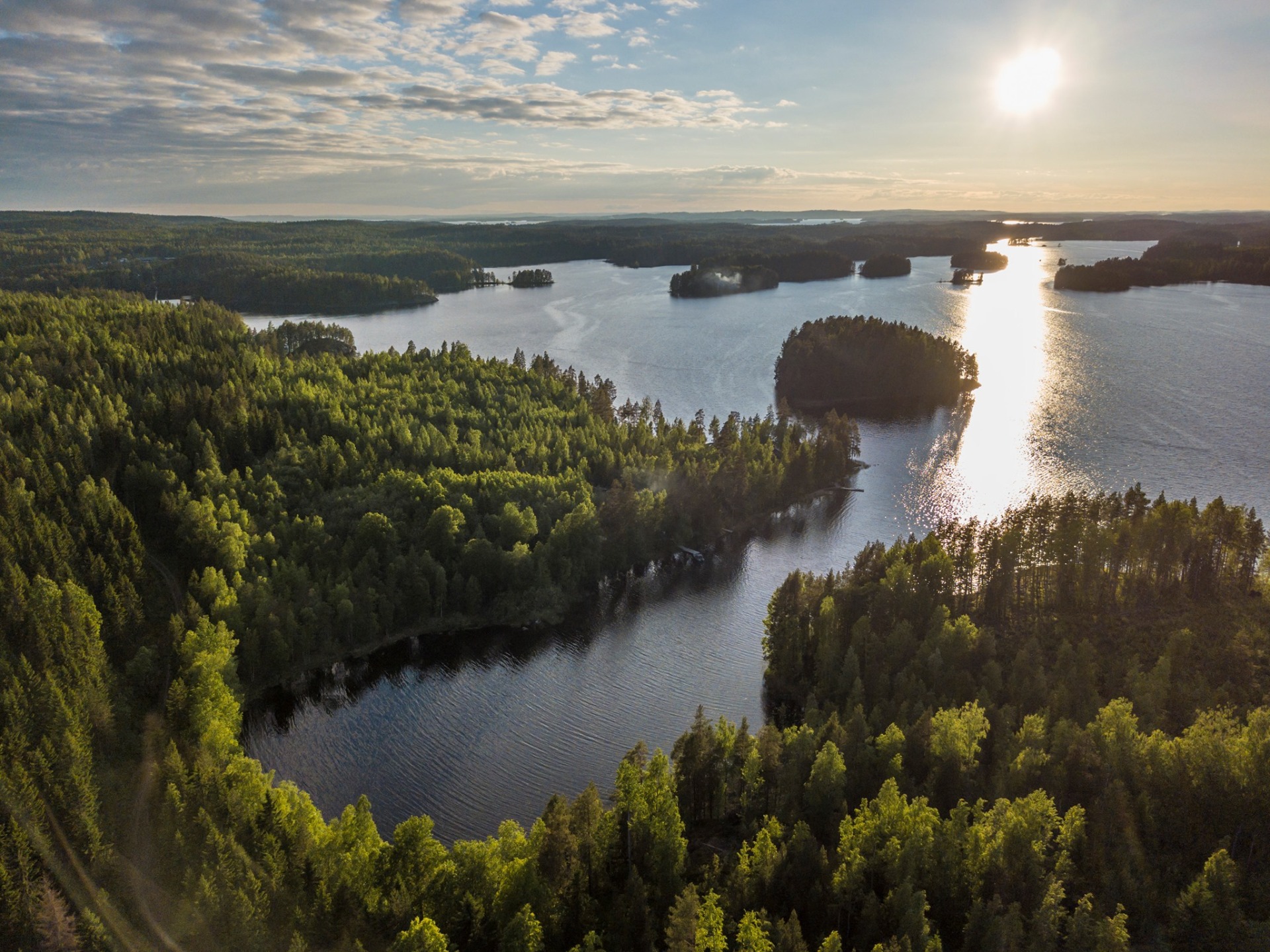
Rautalampi is located in the providence of Northern Savonia (62°37′20″N, 026°50′00″E), Finland. Rautalampi is known for the Southern Konnevesi national park and the Rautalampi water route - the largest free-flowing and unregulated Finnish inland waterway.
In 2019-2022, the mining giant Rio Tinto was searching for copper and nickel in the Rautalampi area despite the opposition of the local community. Unfortunately, the current mining law in Finland does not protect nature or the rights of local residents.
This website is maintained by a group of Rautalampi residents and friends of Rautalampi. We wish to maintain the clean waters and diverse nature for the future generations.
The unique and vulnerable nature of Rautalampi

Rautalampi waterway
Rautalampi waterway is one of the most valuable freshwater ecosystems in Finland. It consists of several large lakes with excellent water quality and unregulated, free-flowing rapids, which are protected by the Finnish law for rapid waters. It is inhabited by many rare freshwater-dependent species, including the endangered anadromous salmon and freshwater forms of Brown trout, Salmo trutta. It is also a significant nesting and resting area for aquatic birds. There are undisturbed forests and rocky areas all along its rivers and lakes.
Southern Konnevesi National Park
Southern Konnevesi National Park was established in 2014, and it has fast become one of the most popular nature destinations in central Finland. The prestigious Konnevesi Lake with its wide-open waters, mazes of islands and rugged cliffs is located in the national park. The population of ospreys, Pandion haliaetus is the most dense of central Finland, and the osprey is actually the symbol for the national park.
These are not suitable places to even consider mining activity!
